

BRECON BEACONS CLASSIC WALKS


BRECON BEACONS – CLASSIC WALKS
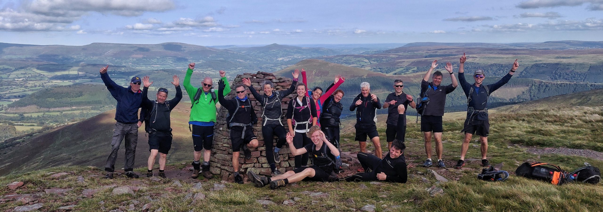
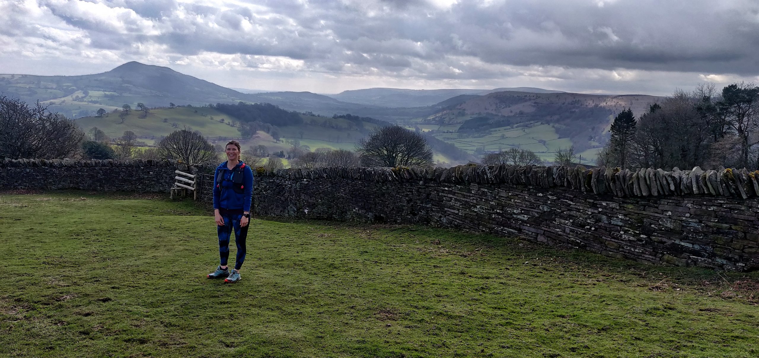
The Brecon Becaons are a national park located in south Wales. The Brecon Beacons are home to many classic walking routes for all ages, abilities and groups. The national park covers 520 square miles and the highest mountain is Pen y Fan rising to 886 meters, it’s also the highest mountain in southern Britain.
Our Brecon Beacons Classic Walks will take you on a journey of splendid ridges, high summits, waterfalls, moorland and magnificent views. We offer mountain guiding services for your group with a fully qualified mountain professional. Other options would include a support vehicle, lunch, hot and cold drinks. Get in touch for further details and have a look through our popular walks below.
Height gain and distances are always slightly off in the mapping software. Best bet is to get out and there and put dirt beneath your feet. Enjoy.
PEN Y FAN HORSESHOE
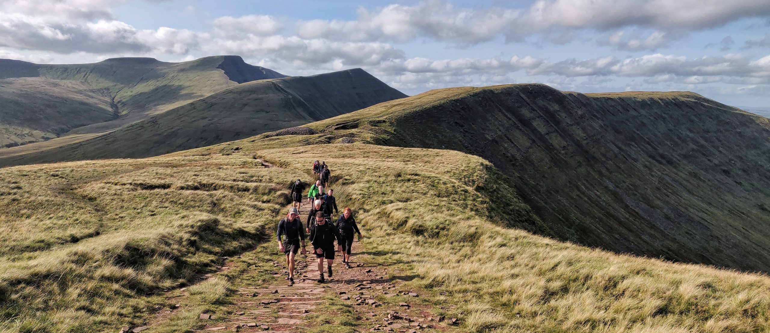
The Pen y Fan Horseshoe. This is a great classic walk of South Wales and the Brecon Beacons. It starts at the head of the beautiful Pentwyn reservoir. It heads up on stunning ridge line and takes in the summits of Corn Du 873 m, Pen y Fan 886 m and Cribyn 795 m. The route works well in either direction.
This is a great introduction to the Brecon Beacons National Park but it can get busy on clear summer days – you have been warned. The car park is here – https://goo.gl/maps/YUzFVG7vQWe6q5nR8
WALK STATS
Length – 16 km / 10 Miles
Time – 6 – 7 hours
Height gained – 700 metres
Highest Summit – 886 metres
Fitness Required – Good
MAP
Route map for The Pen Y Fan Horseshoe. by Dave Talbot on plotaroute.com
LLANTHONY CIRCULAR WALK
This is an outstanding outing. It’s much quieter than most in the Brecon Beacons and the views are breathtaking as you’re on the furthest eastern ridge and you’ll get views across Wales and into England.
It’s best to start the route at the southern end at the car park by the Queens Head pub – https://goo.gl/maps/NV9dqKuQdHkM8ZJ97 – which is handy for a pint on your return. The route is best done anti clockwise so your heading up to the summit of Hatterall Hills 531 m on the famous Offa’s Dyke footpath – the views are stunning.
You’ll drop down into the picturesque village of Llanthony where the priory hotel awaits – https://www.llanthonyprioryhotel.co.uk/ – this also gives you the option of splitting the walk into two days for those that want a leisurely pace and good supper at the hotel.
Continue west onto the Beacons Way and head down the ridge back to the car park. A fantastic circular route.
WALK STATS
Length – 17 km / 11 Miles
Time – 6 – 8 hours
Height gained – 700 metres
Highest Summit – 531 metres
Fitness Required – Good
MAP
Route map for Llanthony Circular Walk by Dave Talbot on plotaroute.com
WAUN FACH HORSESHOE
The Waun Fach Horseshoe is another classic of the Brecon Beacons National Park. It doesn’t climb the highest mountain in the Brecon Beacons and because of this the route is much quieter and always with magnificent views.
The route is long and good fitness is required. The route can be done in either direction but usually going anti clockwise is best as the height gained is more gradual. You start and park near the Red Lion Pub here – https://goo.gl/maps/VM3sCzngk9F4g2YB6
Summits scaled on route – Pen Cerrig Calch 707 m, Pen Allt-mawr 720 m, Pen Twyn Glas 646 m, Mynydd Llysiau 663 m, Waun Fach 811 m, Pen y Gadair Fawr 800 m, Pen Twyn Mawr 658 m.
WALK STATS
Length – 27 km / 17 Miles
Time – 8- 10 hours
Height gained – 1100 metres
Highest Summit – 811 metres
Fitness Required – Very Good
MAP
Route map for The Waun Fach Horseshoe by Dave Talbot on plotaroute.com
PEN CERRIG-CALCH
Pen Cerrig-calch towers over the beautiful picturesque town of Crickhowell. Finishing this walk and sampling a cold beverage by the river is a wonderful end to the day. The route can be climbed as an up and down – to the summit and back, however, we prefer a circular route.
Starting in Crickhowell, you can park here – https://goo.gl/maps/SoE2dT2WCLyhiWXK8 – you’ll leave your vehicle and head up by road initial, in order to warm up the legs and gain some height. You’ll strike off and climb to the first summit Pen Twyn Glas 646 m and join the main ridge line. The route heads south with splendid views taking in the peak of Pen Allt-mawr 720 m and finally onto Pen Cerrig Calch 707 m before dropping back into Crickhowell for a well earned drink.
Summits climbed: Pen Cerrig Calch 707 m, Pen Allt-mawr 720 m, Pen Twyn Glas 646 m
WALK STATS
Length – 20 km / 12 Miles
Time – 6 – 8 hours
Height gained – 800 metres
Highest Summit – 719 metres
Fitness Required – Good
MAP
Route map for Pen Cerrig-Calch Walk by Dave Talbot on plotaroute.com
WATERFALL WALK
This is the classic Waterfalls Walk of South Wales. This is the circular route but you can do various ‘out and back’ routes.
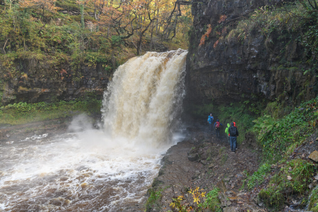
You can even walk behind the famous waterfall Sgwd Yr Eira – https://goo.gl/maps/ydkKqV3MhBcwb7v39 – it’s simply magically.
It’s a relativity flat walk but the ground is rocky and slippy.
There’s plenty of parking at Dinas Rock car park – https://goo.gl/maps/XN7oGMXoRGBUMsP29
WALK STATS
Length – 15 km / 9 Miles
Time – 4 – 6 hours
Height gained – 400 metres
Highest Summit – N/A
Fitness Required – Medium
MAP
Route map for Waterfall Walk South Wales by Dave Talbot on plotaroute.com
SUGAR LOAF
Sugar Loaf – one of the most icon mountains in the whole of South Wales. It isn’t the highest at a mere 598 metres but what it lacks in size, it makes up for in beauty – it’s often referred to as the Mt Fuji of South Wales. The mountain is located above Abergavenny – a bustling market town with a selection of fine pubs and restaurants.
This route traverses the mountain taking in the sights and wonderful views from all angles before the final summit push. A joyous summit it is, rocky and pointy – Sugar Loaf pleases all, time and time again. Simply splendid.
Sugar loaf car park is here – https://goo.gl/maps/pGxzNVe4xCcVe69K9
WALK STATS
Length – 8 km / 5 Miles
Time – 2 – 3 hours
Height gained – 350 metres
Highest Summit – 598 metres
Fitness Required – Moderate
MAP
Route map for Sugar Loaf Walk by Dave Talbot on plotaroute.com
SUGAR LOAF LOOP 2
This is a wonderful and varied route around the stunning peak of Sugar Loaf. It’s more varied then the other route here and it’s longer too. It crosses several rivers, traverses several ridges and always has stunning views in all directions.
The route goes better in an anti clockwise direction and there’s some steep sections on the route – you want to be reasonably nimble. It makes for a great quick hit as a run.
Parc Lodge car park is the starting point and that is here – https://goo.gl/maps/E1LPEgykR6n53bZf7
WALK STATS
Length – 11 km / 7 Miles
Time – 3 – 4 hours
Height gained – 520 metres
Highest Summit – 598 metres
Fitness Required – Medium
MAP
Route map for Sugar Loaf Loop 2 by Dave Talbot on plotaroute.com
SKIRRID SUMMIT
The furthest east of the hills of the Brecon Beacons is Mt Skirrid 486 metres or in local tongue known as Ysgyryd Fawr. It’s a wonderful summit and day out for the family or group looking to ‘take it easy’. It has all the elements of a high mountain adventure with fantastic views, a ridge, a lofty summit. It is however, always close to the road and retreat – if needed.
This is fantastic introduction peak and one that can be incorporated into something else during the day – be it a long lunch or corporate event or why not take it easy and have a picnic.
There’s parking on the road here – https://goo.gl/maps/wFdesfwDzUgTWJVD9
WALK STATS
Length – 5 km / 3 Miles
Time – 1.5 – 3 hours
Height gained – 350 metres
Highest Summit – 489 metres
Fitness Required – Moderate
MAP
Route map for Skirrid Walk by Dave Talbot on plotaroute.com
BRECON BEACONS 10 PEAK CHALLENGE
The big one!! If you fancy all the peaks in one day through the central section of the Brecon Beacons national park, this is it. The Brecon Beacons 10 Peak Challenge – this is a linear traverse of the mountain range taking on all of the big peaks. Starting in the west and working east across the main ridge line.
This challenge isn’t for the faint hearted but it’s inclusion is worthy due to the number of summits it takes on. This walk is fully supported with a vehicle and mountains guides with you – every step of the way. Fancy a challenge? Of course you do.
WALK STATS
Length – 37 km / 23 Miles
Time – 10 – 12 hours
Height gained – 1800 metres
Highest Summit – 886 metres
Fitness Required – Excellent
MAP
Route map for Brecon Beacons 10 Peak Challenge – One Day Route by Dave Talbot on plotaroute.com