TRAWS ERYRI
The Ultimate 4-Day Mountain Bike Adventure Across Wales
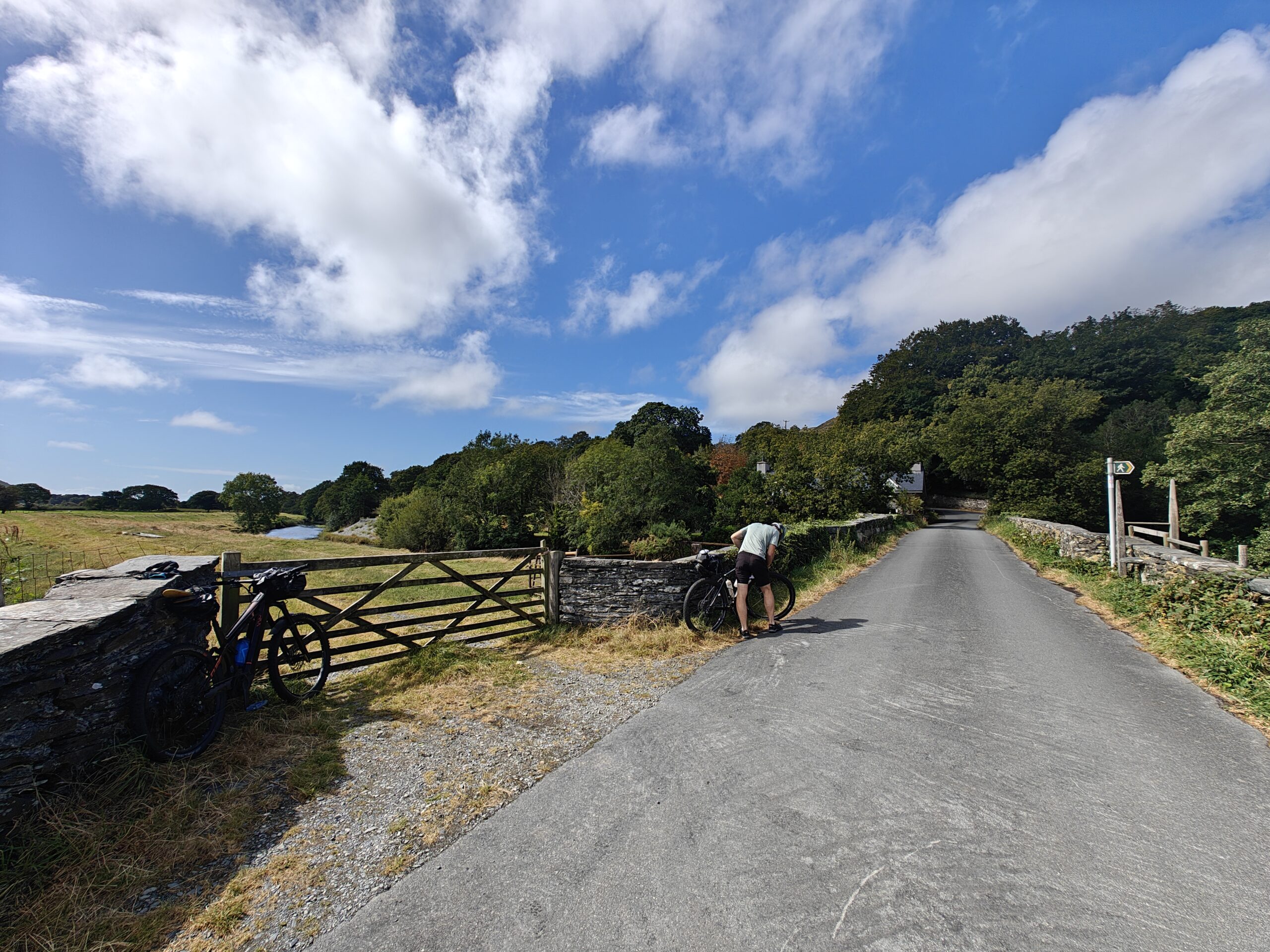
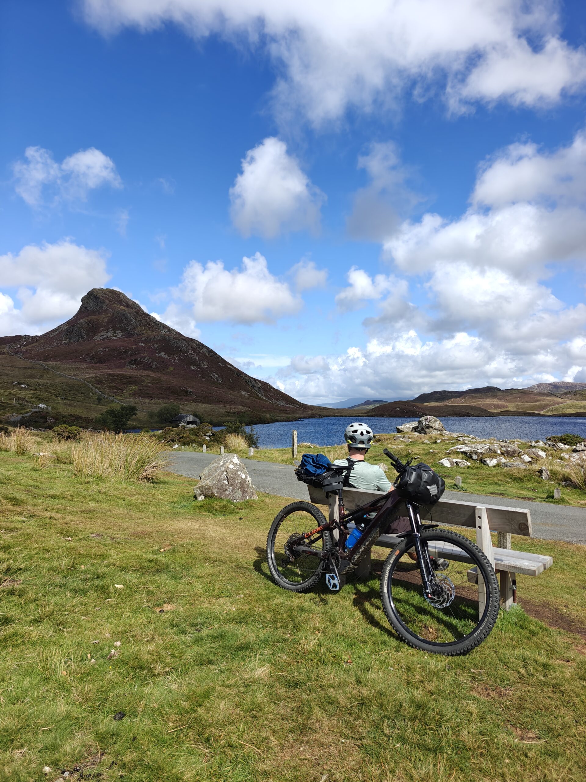
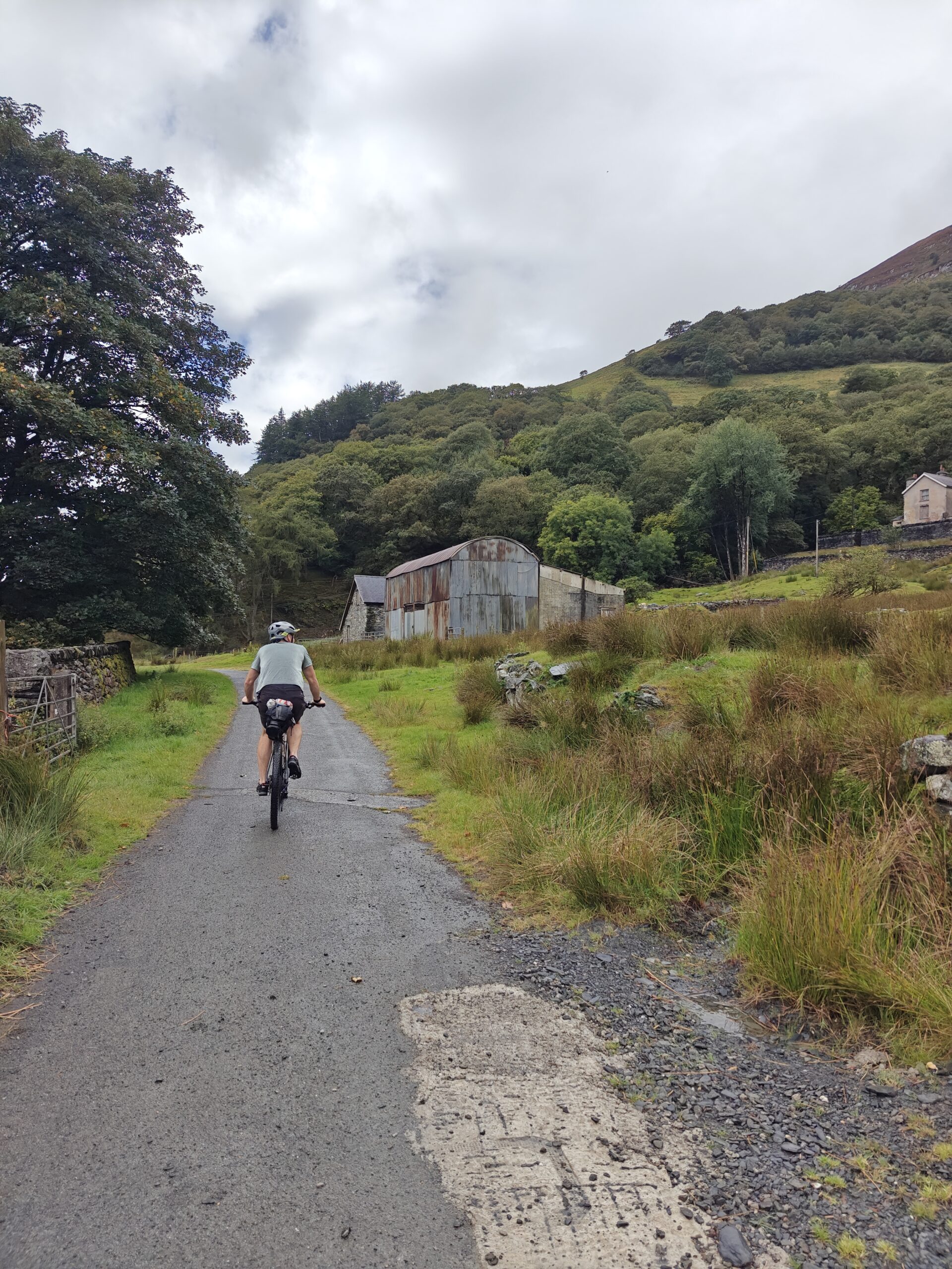
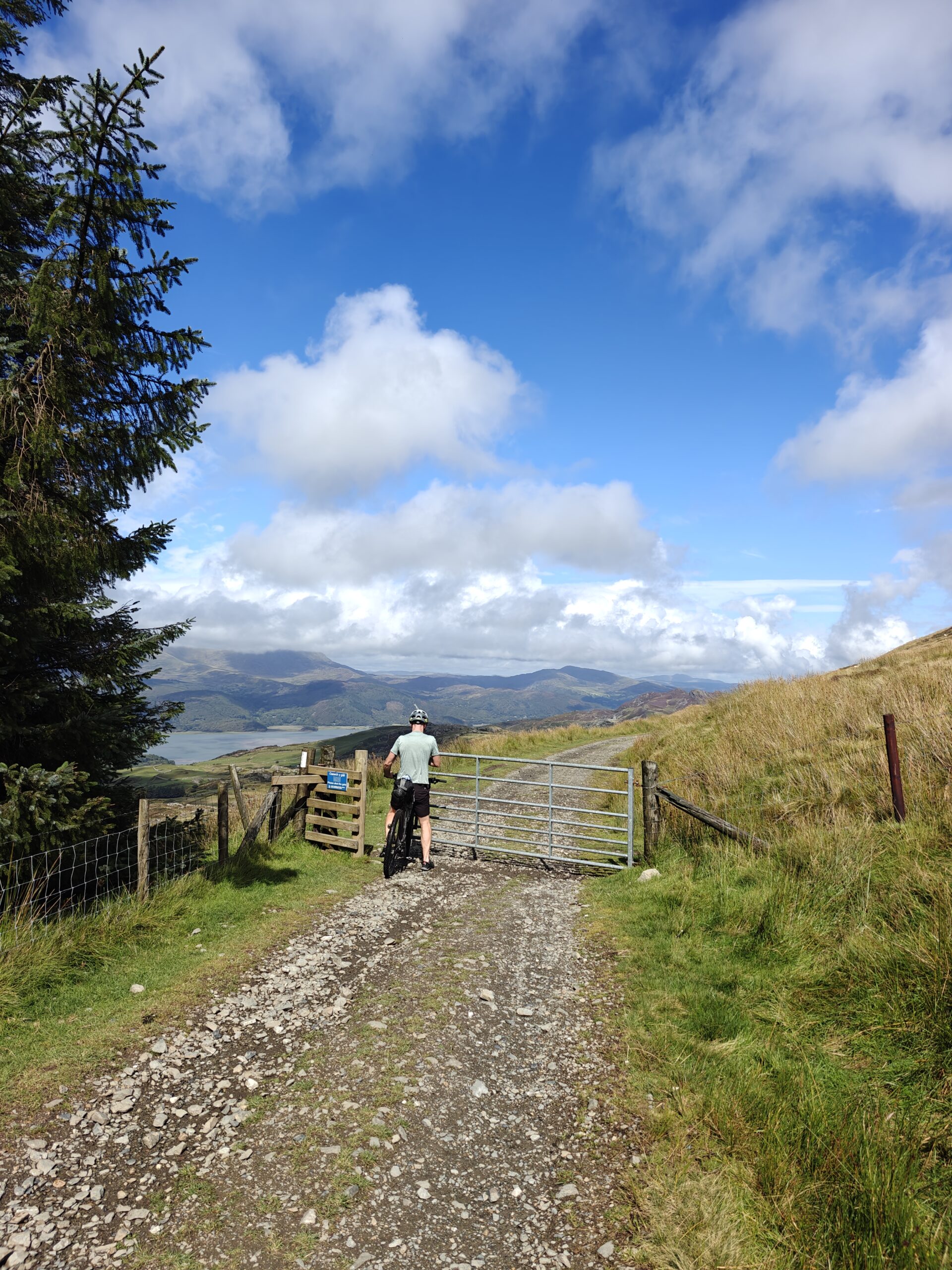
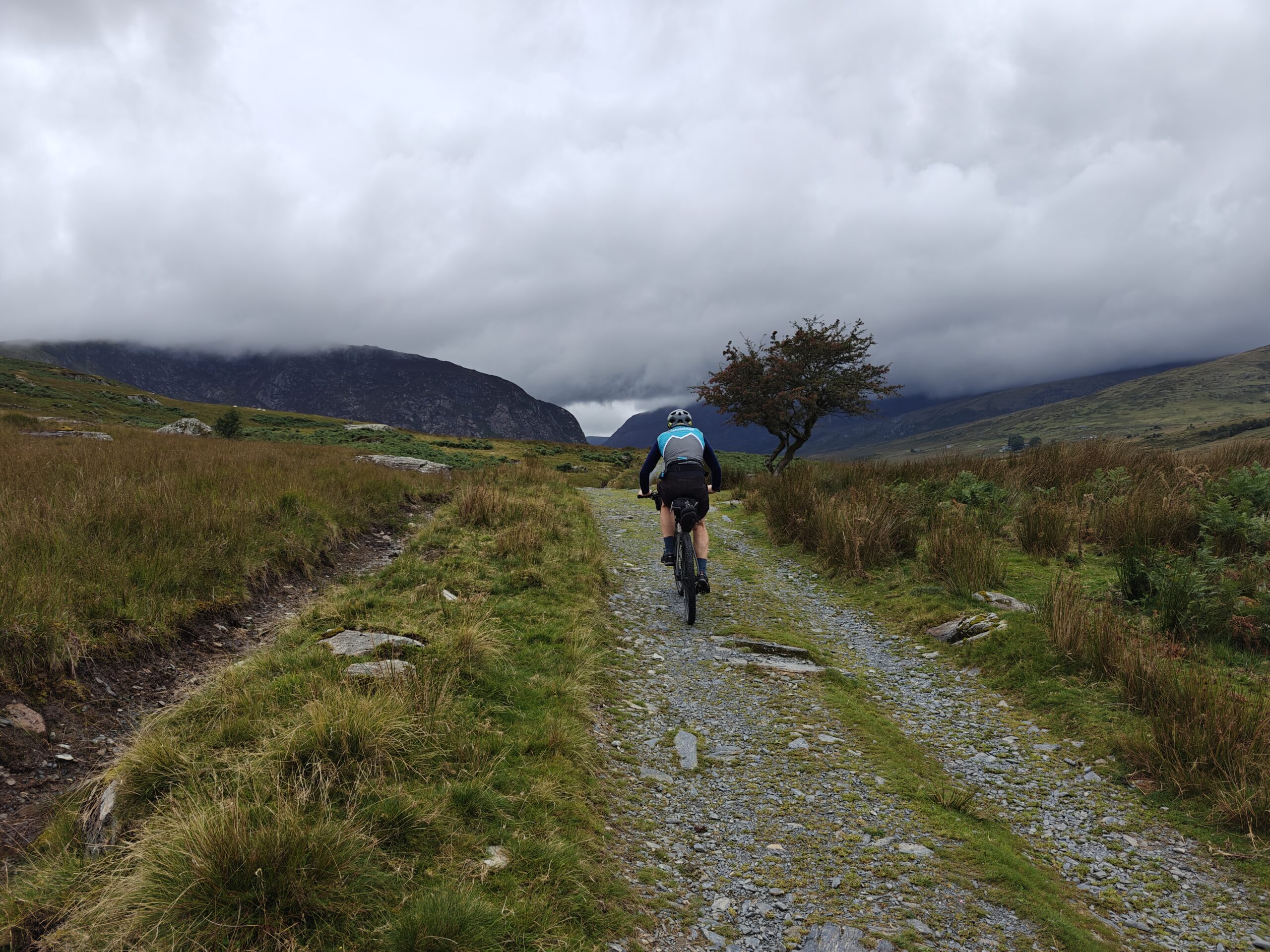
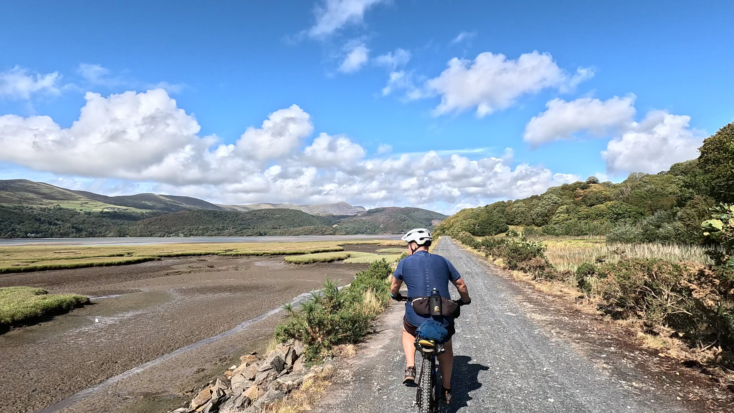
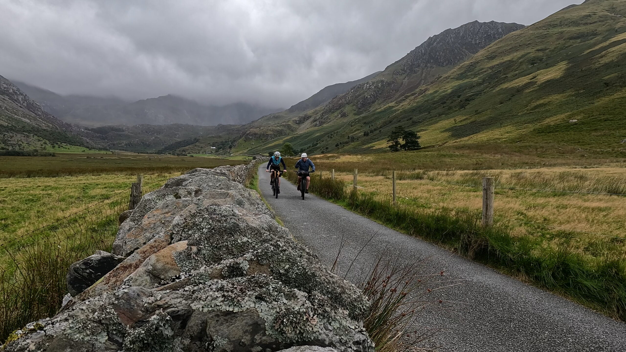
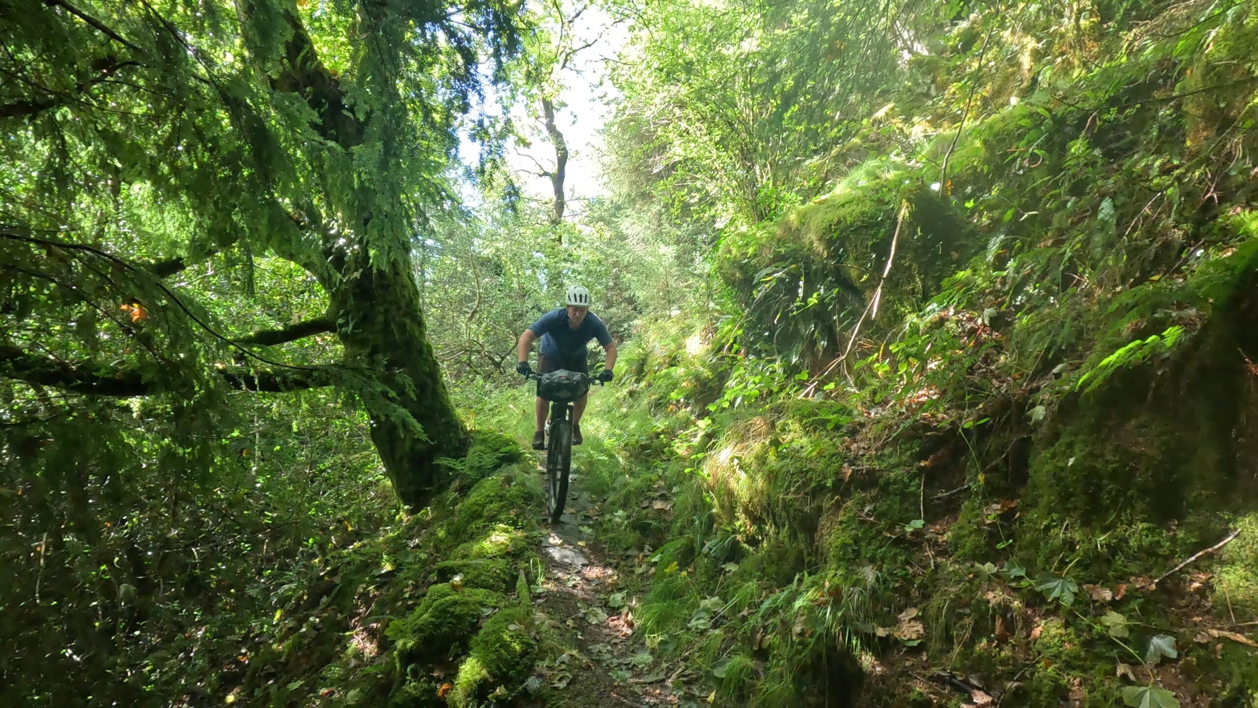
Traws Eryri is one of the UK’s most iconic long-distance mountain bike / gravel routes — a 210km coast-to-coast adventure stretching across the wild heart of North Wales. Linking the Dyfi Estuary in the south to the Irish Sea in the north, this spectacular multi-day bike packing route traverses ancient forests, slate landscapes, high mountain passes and remote Welsh valleys.
This is not just a ride. It’s a full immersion into the rugged beauty of Snowdonia — or, properly, Eryri.
We offer a variety of packages on this sensational route with full logistics, route guiding, luggage transport, accommodation, lunches and support vehicles. This four-day Traws Eryri itinerary breaks the route into manageable, rewarding stages designed for experienced riders seeking challenge, scenery, and adventure.
Traws Eryri Map and GPX
Traws Eryri – Snowdonia Overview
- Total Distance: Approx. 210km
- Total Elevation Gain: Approx. 5000m
- Start: Machynlleth
- Finish: Conwy
- Duration: 4 Days
- Difficulty: Challenging
- Bike Type: Gravel bike (40–50mm tyres recommended) or MTB
- Best Season: May–September
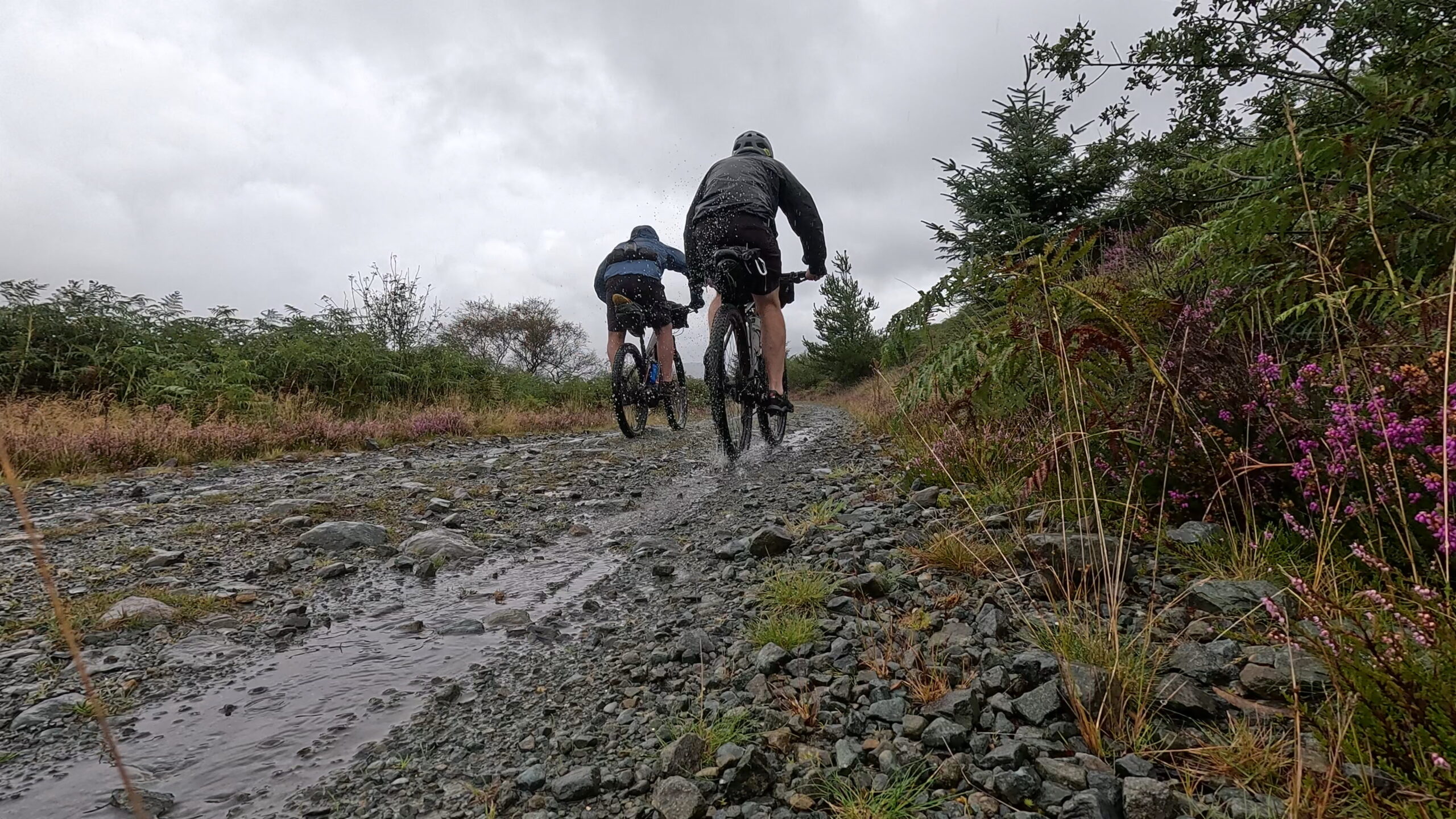
This is a remote, mountainous route with limited resupply in places. Riders should be comfortable with long climbs, changing weather, rough terrain and sustained elevation gain.
Day 1 – Machynlleth to Dolgellau
Distance: 57km
Elevation Gain: 1,200m
Logistics : Train from Shrewsbury to Machynlleth
Route Map Overview
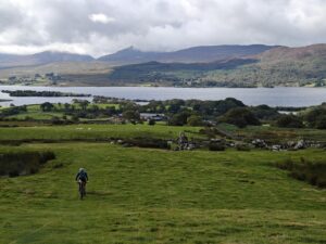
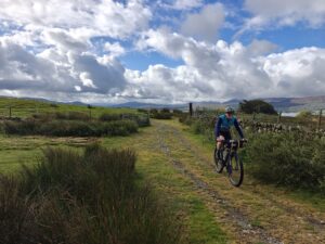
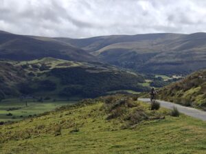
The opening stage climbs straight into the Dyfi Forest above Machynlleth before traversing high moorland tracks beneath Cadair Idris and descending toward Dolgellau.
Detailed Description
The adventure begins in Machynlleth — Wales’ ancient capital and the symbolic gateway to Eryri. Within minutes, you leave town and begin a sustained gravel climb into Dyfi Forest, one of the most atmospheric sections of the entire route.
Expect:
- Long forestry road ascents
- Sweeping views back toward the Dyfi Estuary
- Fast, flowing gravel descents
- Remote mountain plateau riding
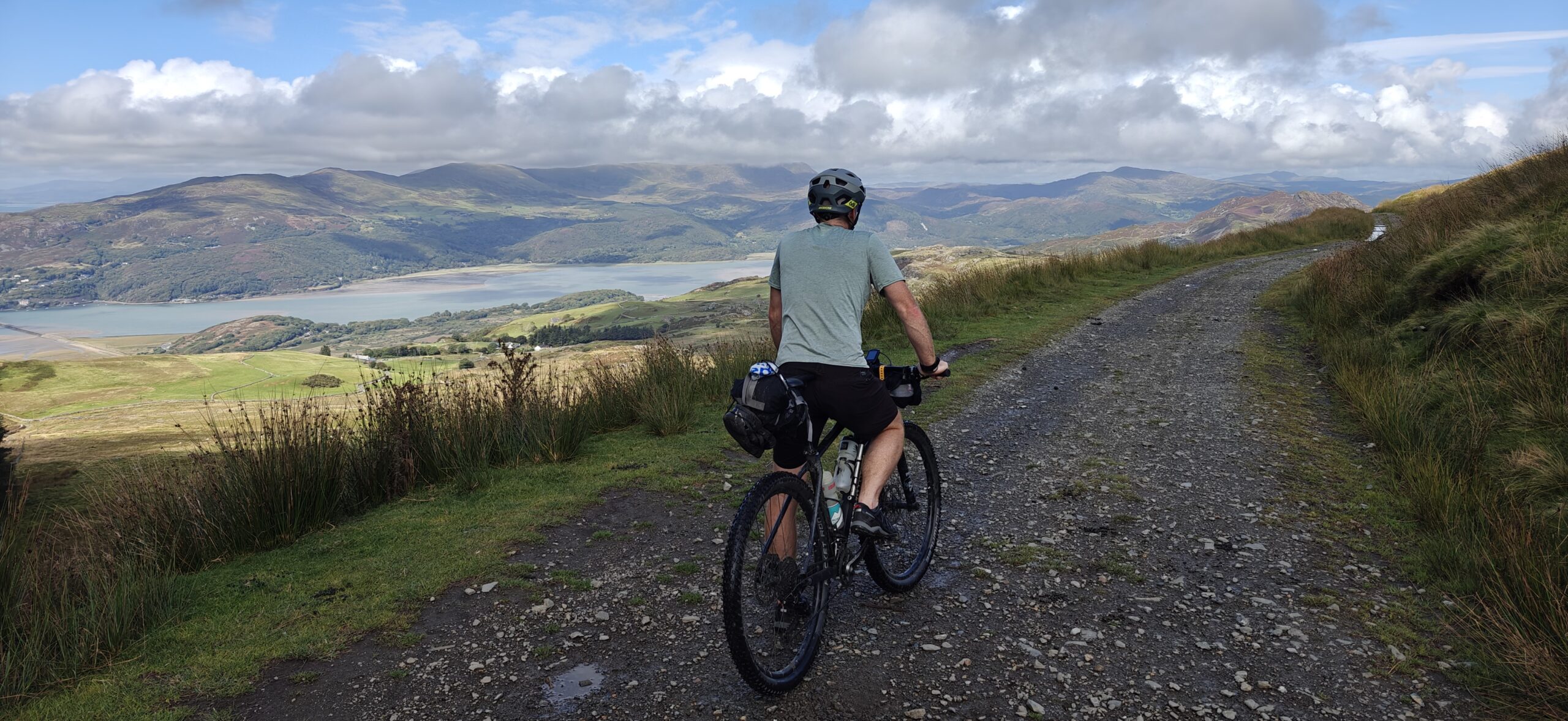
The climb out of the Dyfi is relentless but rewarding. As the forest opens, you’re treated to vast panoramas toward Cadair Idris and the Mawddach Valley.
The final descent into Dolgellau is pure joy — wide gravel roads and a sense that you’ve truly entered mountain country.
Day 2 – Dolgellau to Trawsfynydd
Distance: 49km
Elevation Gain: 1000m
Route Map Overview
This stage heads into the iconic Coed y Brenin forest before transitioning into open slate country toward Trawsfynydd Lake.
Detailed Description
From Dolgellau, the route rolls gently toward Coed y Brenin Forest Park, the UK’s spiritual home of mountain biking. The Traws Eryri sticks to forest roads rather than technical MTB trails, but the atmosphere remains epic.
You’ll ride:
- Smooth gravel forest roads
- River crossings and wooden bridges
- Gradual but sustained climbs
Leaving the forest, the terrain changes dramatically. Slate landscapes dominate as you approach Trawsfynydd and its vast reservoir.
This section feels remote and wild. The wide skies and exposed terrain offer a real sense of scale — and occasionally, wind.
Day 3 – Trawsfynydd to Betws-y-Coed
Distance: 55km
Elevation Gain: 1,300m
Route Map Overview
This is arguably the most dramatic day, crossing historic slate country and climbing through remote mountain passes.
Detailed Description
The day begins with rolling terrain before climbing toward the industrial heritage town of Blaenau Ffestiniog. Towering slate tips create a dramatic lunar landscape unlike anywhere else in the UK.
Highlights include:
- Long mountain pass climbs
- Remote gravel traverses
- Sweeping descents into wooded valleys
This stage is physically demanding but visually unforgettable.
The final descent leads into the alpine-style village of Betws-y-Coed, a classic North Wales adventure hub.
Day 4 – Betws-y-Coed to Conwy
Distance: 56km
Elevation Gain: 1300m
Logistics: Train from Conwy to Shrewsbury
Route Map Overview
The final stage winds through Gwydir Forest before descending dramatically to the North Wales coast.
Detailed Description
Leaving Betws-y-Coed, the route enters the enchanting Gwydir Forest — a mix of smooth gravel, short sharp climbs and flowing descents.
As the Irish Sea comes into view, there’s a real sense of completion.
The ride finishes beside medieval walls in Conwy, overlooked by the mighty Conwy Castle and framed by the sea.
Touch the water. Take the photo. You’ve crossed Eryri.
ALL OUR ADVENTURES ARE TAILORED TO YOU
Why Ride Traws Eryri?
- One of the UK’s premier gravel bikepacking routes
- Fully waymarked National Cycle Route
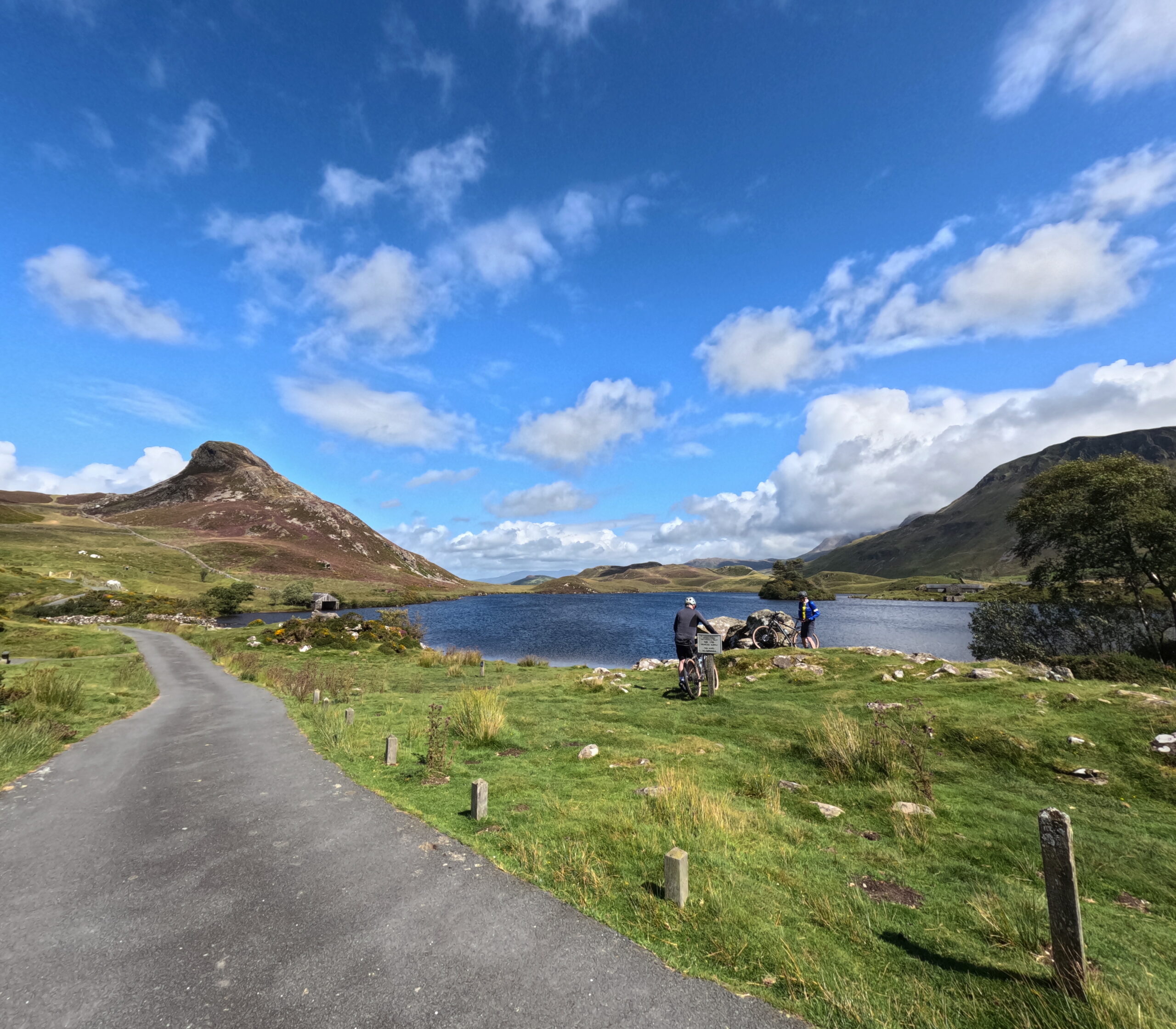
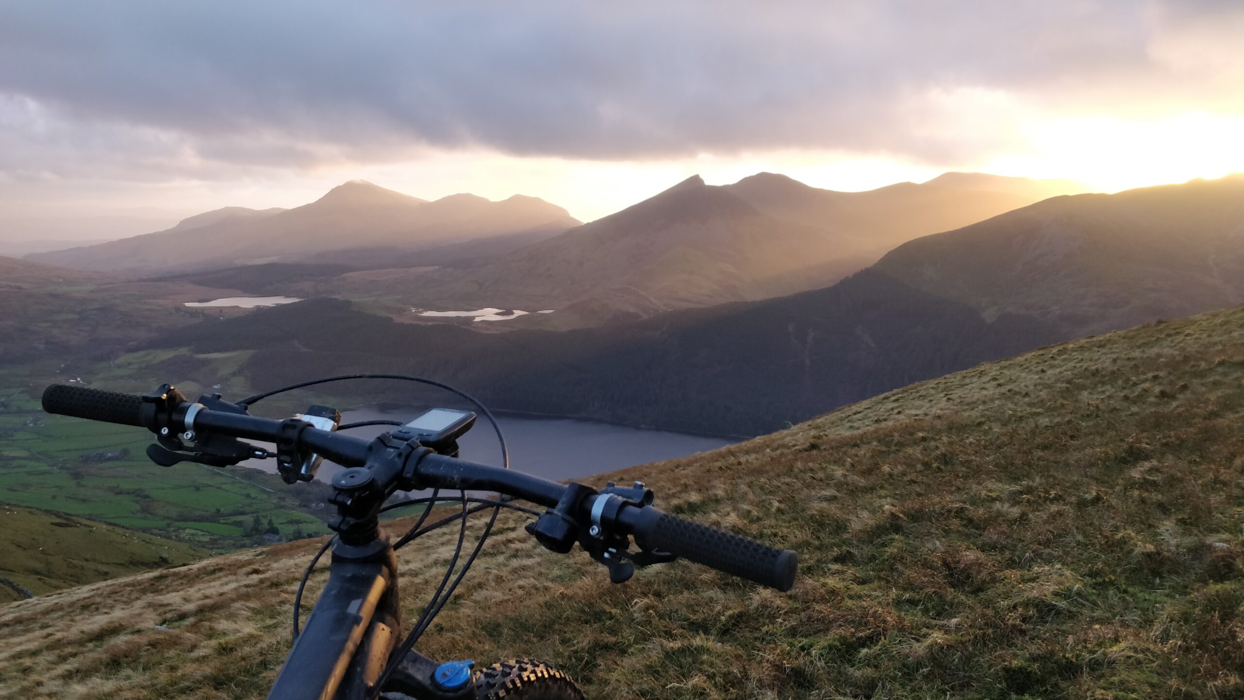
- Spectacular Snowdonia mountain scenery
- Rich Welsh heritage and slate history
- Challenging but achievable in four days
This is a true coast-to-coast Welsh cycling expedition.
Who Is the Traws Eryri For?
This four-day gravel cycling adventure is ideal for:
- Experienced riders
- Bike packing enthusiasts
- Riders comfortable with sustained climbing
- Cyclists seeking remote UK mountain terrain
- Small groups looking for a guided Welsh adventure
It is not suited to beginners or road bikes.
Traws Eryri Map and GPX
Book Your Traws Eryri Adventure
ALL OUR ADVENTURES ARE TAILORED TO YOU