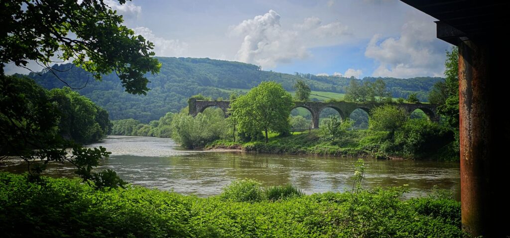
WYE VALLEY AND FOREST OF DEAN WALKS
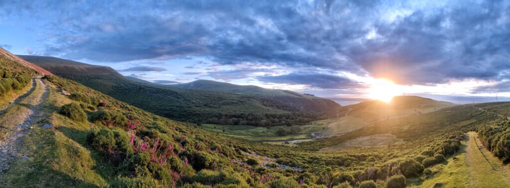
The Wye Valley and the Forest Of Dean hosts a huge array of walks that vary from river side paths, summits with far reaching views to colorful hidden gems with beautiful villages and great pubs. This is a list of a few recommended walks that are firm favorites with locals and might well be off the radar of the traveler coming across to do a classic walks like the Sculpture Trail – https://www.forestofdean-sculpture.org.uk/
I hope this list can add a few ideas, produce some great days out and long lasting memories.
On all of the walks I’ll add a description and some useful links. They’ll be a map and you can download the GPX file to be able to follow that on your walk. You can also roughly follow the map and make up your own route using an OS map of a mapping App on your mobile. I really like the App Outdoor Active – https://www.outdooractive.com/en/ – even the free version has great, user friendly mapping for the whole world. Enjoy and happy trails.
COPPETT HILL
Coppett Hill stands at 200 meters high and sits just south of the village of Goodrich. This is not the biggest of mountains but the views from the summit are truly sunning. From the top you can see all the way to the Brecon Beacons, across towards Hertfordshire and peaks of the Malvern Hills. The whole area around of Welsh Bicknor is incredible, so do make sure you don’t just go the summit and back.
There’s plenty of variations of this walk and it can be lengthen or shortened as you wish. Adding in a visit to Goodrich Castle is also highly recommended – https://www.english-heritage.org.uk/visit/places/goodrich-castle/
There’s plenty of parking in Goodrich village and there’s several pubs / cafes that are worth visiting:
https://thehostelrieatgoodrich.co.uk/ – Restaurant / pub / rooms as well
https://flanesford.com/ – Nice cafe that’s open Friday to Sunday
https://www.innonthewye.co.uk/ – Pub just off the river Wye
COPPETT HILL – MAP AND GPX FILE
WALK STATS
Distance – 6 km, Height Gain – 200 m, Rough Time Needed – 2 hours
Route map for Coppett Hill 200m – Nice Loop by Dave Talbot on plotaroute.com
THE LYDBROOK LOOP
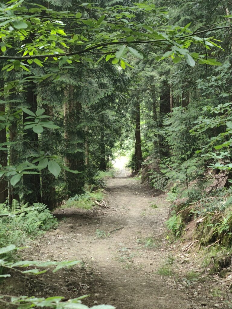
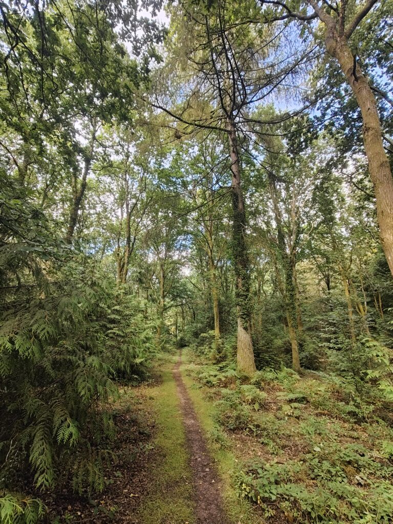
The Lydbrook Loop offers something for everyone. It is quite hilly but with hills come stunning views of the forest and of the river Wye. I recommend doing this walk anti-clockwise in order to get the best views and experience. On this walk you’ll pass the lama field and you’ll go past the beaver enclosure – yes that’s correct a beaver enclosure, but can you see them? What they’ve done to the trees in the enclosure is very impressive. The pretty village of the Pludds has stunning views across the forest and if you follow this route it looks directly down to the river Wye towards Goodrich. The routes starts and finishes at the River Wye in Lydbrook but it can be started mid way through.
There’s plenty of parking in Lower Lydbrook and there’s several pubs / cafes that are worth visiting:
Cafe Vanille – cafe next to the start finish point
https://theforgehammer.co.uk/ – Pub next to the start / finish
THE LYDBROOK LOOP – MAP AND GPX FILE
WALK STATS
Distance – 11 km, Height Gain – 375 m, Rough Time Needed – 4 hours
THE WYE VALLEY TRAIL
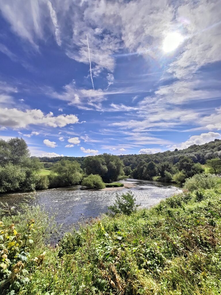
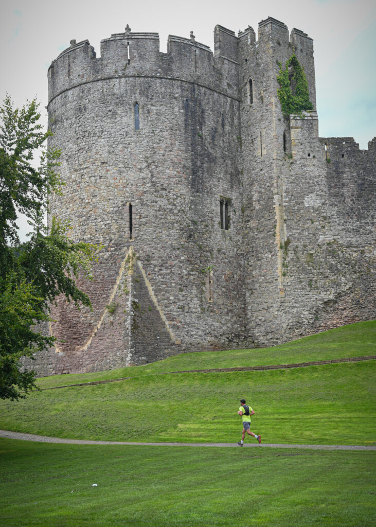
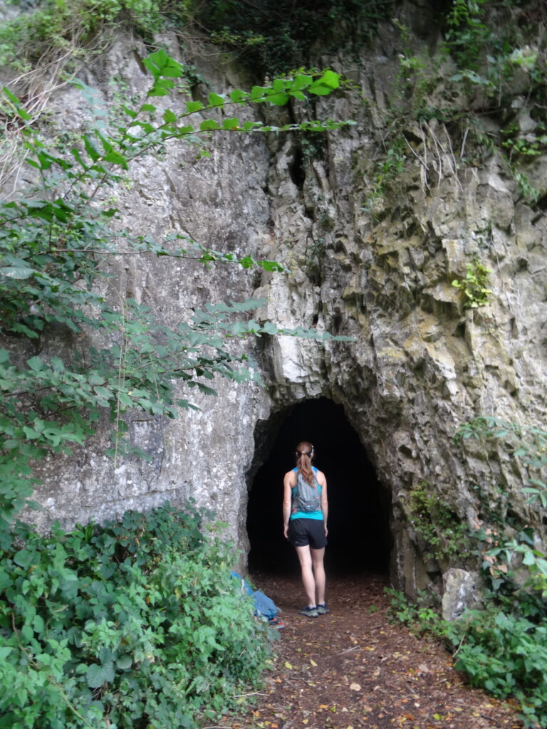
This is the gem of the Lower Wye Valley. It crosses two countries England and Wales, it has two famous landmarks – Tintern Abbey and Chepstow Castle, two famous footpaths – The Offas Dyke and The Wye Valley Walk and it crosses two bridges that allow the route to cross the river Wye. The views are stunning and you must look out over Eagles Nest – where you can see both of the Severn Bridges, the huge towering cliffs of Wintours Leap and the snaking river Wye. For the daring, you can even climb a series of metal ladders / 365 steps that takes you through Wyndcliff and up to Eagles Nest. There’s also a small cave that you go through called the Giants Cave.
The great thing about this walk is you can start in either Chepstow or Tintern – both have plenty of parking options and pubs for lunch or drinks to finish.
https://www.therisingsunwoodcroft.co.uk/ – Lovely pub just off the Offa Dyke in the village of Woodcroft
https://theanchortintern.co.uk/ – Popular pub in Tintern with plenty of outdoor seating and if you go on the right day, you can even watch the cricket.
https://davetalbot.net/wye-valley-trail-race/ – The trail race I organise on the route.
THE WYE VALLEY TRAIL – MAP AND GPX FILE
WALK STATS
Distance – 20 km, Height Gain – 700 m, Rough Time Needed – 6 hours
Route map for The Wye Valley Trail by Dave Talbot on plotaroute.com

THE KYMIN LOOP FROM MONMOUTH
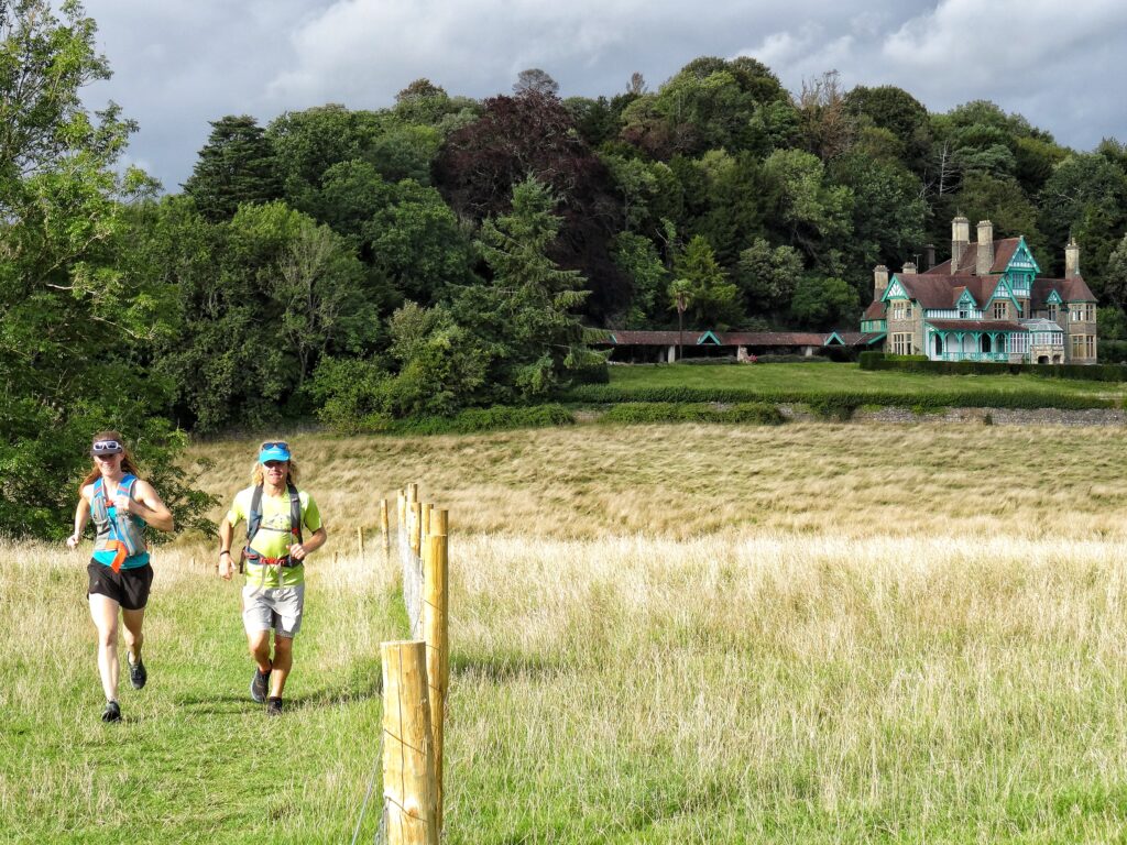
The Kymin is a famous Nation Trust property – https://www.nationaltrust.org.uk/visit/wales/the-kymin/visiting-the-kymin – it’s a unique building with outstanding views across Monmouth and to the mountains of the Brecon Beacons.
This wonderful walk starts in the pretty market town of Monmouth and heads across the river Wye and picks up the Wye Valley Walk and heads to Redbrook. A short detour off the walk in Redbrook, takes you across the river again to the most amazing pub – https://theboatinnpenalt.co.uk/ – the gardens and grounds are stunning with big jungle like ferns and waterfalls following through them – it’s a great spot for lunch.
You pick up the Offa’s Dyke Path and head uphill on a steep lane that soon reveals some amazing views before you get to the Kymin itself. Enjoy the views for a while before heading back down into Monmouth to complete your journey.
THE KYMIN LOOP FROM MONMOUTH – MAP AND GPX FILE
WALK STATS
Distance – 10 km, Height Gain – 260 m, Rough Time Needed – 3 hours
Route map for Kymin Loop From Monmouth by Dave Talbot on plotaroute.com